
Field Trip: The Pacific Ocean and Polynesia
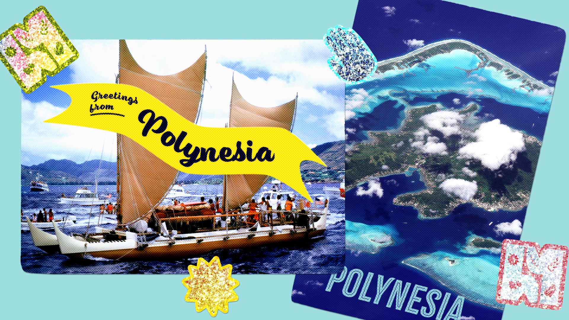
Photo Illustration: Humanizing History Visuals. Photos: Phil Uhl, Planet Labs, Inc via Wikimedia Commons.
Welcome to Humanizing History™! Every month, we feature a central theme. Each week, we dive into different areas of focus.
This month’s theme: Summer Field Trip, The Shape of Home
This week’s focus: Field Trip, where we highlight significant historic, archaeological, and cultural sites around the world
Today’s edition of Humanizing History™ is about 1100 words, an estimated 4-minute read.
The Why for This Week’s Topic
Imagine holding a map of the world. You scan the Pacific Ocean. It’s likely colored as one enormous mass of blue. It appears almost empty on the map, with the exception of a few islands, scattered as tiny dots.
Covering nearly 160 million square kilometers, a larger area than all of Earth's landmasses combined, the Pacific Ocean is indeed massive.
On many maps, it appears as a giant wall of blue, as though nothing connects its waters.
But for thousands of years, Indigenous Peoples across the Pacific and Oceania understood something profound, something many common maps of today don’t represent. They knew the Pacific Ocean wasn’t empty. It was filled with pathways. Connections. Possibility. History. Relationships.
The Pacific Ocean was home.
This month, our Summer Field Trip series explores the shape of home — the many ways people across the world have learned to belong to the places they live.
During week one, we traveled to California’s Coachella Valley, where generations developed relationships with a landscape stretching from the desert floor to the pine forests more than 10,000 feet above.
For week two, we journeyed north, to Norway, where we explored how people learned to build with winter itself.
Today, we move from land to water. We’ll ask another question: How do people belong to an ocean?
Learning an Ocean
Beginning at least 3,500 years ago, Polynesian voyagers crossed vast distances throughout the Pacific. By around 1500 BCE, Indigenous communities had settled islands spread across more than 40 million square kilometers of ocean.
Such journeys were made possible through remarkable technological and cultural innovation.
One of the most extraordinary developments was the double-hulled sailing canoes — known in Hawai’i as wa’a kaulua. Built without metal, the vessels were constructed from carefully shaped wood, woven coconut-fiber cordage, sails, oars, and generations of accumulated craftsmanship.
As apprentice navigator, Kaleo Wong explains, “There’s no metal, there’s no screws, there’s no nails, there’s no braces that hold the canoe together. It’s nothing but lashings of rope. There's no motors on board. There’s no navigation equipment that we use to go across the ocean.”
Instead, navigators cultivated something remarkable: They learned how to read the living world — a knowledge system refined and passed down across generations.
Embodied Knowledge Systems Across Generations
To navigate the Pacific Ocean successfully for thousands of years, people learned to see what others might have overlooked. They did more than cross an ocean, they spent countless hours learning how to read it. To know it. Become familiar with it.
Across ancient Polynesia, navigators analyzed the sun, moon, stars, planets, ocean currents, and clouds together — developing a knowledge system that transformed the ocean from an obstacle to a network of pathways.
Kaleo Wong explains: “When we are navigating the open ocean, our biggest clue that tells us where we are and where we’re going is the sun. The sun, as we know, rises in the east and sets in the west, so if we just know where one point is, then we know where everything else is. The stars do us the same thing, just like the compass in the sky. We memorize close to 200 stars and we know where they rise and where they set and how they move across the skies.”
The sky is only part of the story. Navigators also learned to read trade-wind-generated ocean swells, which often travel in consistent directions across vast distances.
Clouds offered more clues. Their reflections — and the way they accumulate — can reveal islands hidden beyond the horizon. The flight paths of specific birds also hint at nearby land. Floating vegetation, drifting debris, and even species of fish provide more information.
Such elements do not exist in isolation. The larger oceanic world — sky, surface, and beyond — became readable as a complex system. This kind of map wasn’t simply drawn on paper. It was carried in memory, held in bodies, sometimes illustrated with stick charts, and passed down across generations until something nearly immeasurable — the Pacific Ocean — became familiar.
As captain Bruce Blakenfeld explains, “In the open ocean, there are no landmarks… Hawai’i was discovered by canoes — with no GPS, no motors, no electronics. Just pure nature.”
In this light, the Pacific Ocean is more than a blue expanse. It’s an organic, living knowledge system.
Navigators did not simply memorize information, they applied it. Successfully traversing the ocean required thousands of hours of observation — to the point where patterns become memory and memory becomes embodied.
Across time and ocean, Polynesians and other Indigenous Peoples of the Pacific Ocean developed their relationship with wind, waves, and sky.
Often, modern maps divide the ocean from land with clean borders. Ancient navigators seemingly created a worldview that bridged those worlds together. Rather than a massive source of division, the ocean was a network of connection and relationships. Something to live among, not sail across.
Ancient Knowledge, New Voyages
Some historians have questioned whether such long distances were truly possible to navigate without “modern” technology. Some posited that ancient people of Oceania may have simply drifted across the Pacific.
In 1976, navigators chartered Hōkūleʻa — a replica double-hulled Polynesian voyaging canoe — to answer that question. They successfully sailed from Hawai’i to Tahiti using ancient wayfinding techniques alone. The voyage demonstrated what Indigenous communities understood for millennia: ancient navigation was not guesswork or random luck.
Ancient wayfinding of Polynesian society and those across Oceania was a sophisticated knowledge system capable of guiding people thousands of miles across the Pacific.
As Bruce Blakenfeld, captain of the Hōkūleʻa, explains, “The Hōkūleʻa was built with the express purpose of proving that navigation by the ancient way was very viable — that these canoes could be guided over 2,000 miles and long distances.” Fifty years later, Hōkūleʻa continues to sail.
Through the worldwide voyage Mālama Honua — “to care for our Earth” — new generations of navigators continue learning the ancient techniques while reminding the world that some of humanity's ancient forms of technological and cultural innovations remain deeply relevant and inspiring today.
A Small Invitation
When we think about “home,” we may imagine something fixed. A house, a neighborhood, a familiar street. The Pacific Ocean reminds us that home can be more than a place to stand on. Sometimes home is something we learn to read. Something we learn to navigate. Something we learn to move alongside.
As you think about your own sense of home and community, consider:
What places might seem “empty” until you learn how to read them?
What forms of knowledge have been passed down from one generation to the next?
What patterns in the world around you have you learned to notice?
How have landscapes around you taught people where you live how to move, build, or belong?
The Pacific Ocean reminds us that belonging can be carried in memory, observation, and relationships passed down across generations — until something as massive as the largest ocean in the world is known as home.
Theme: