Mapping the World, From Songlines to Satellite Data
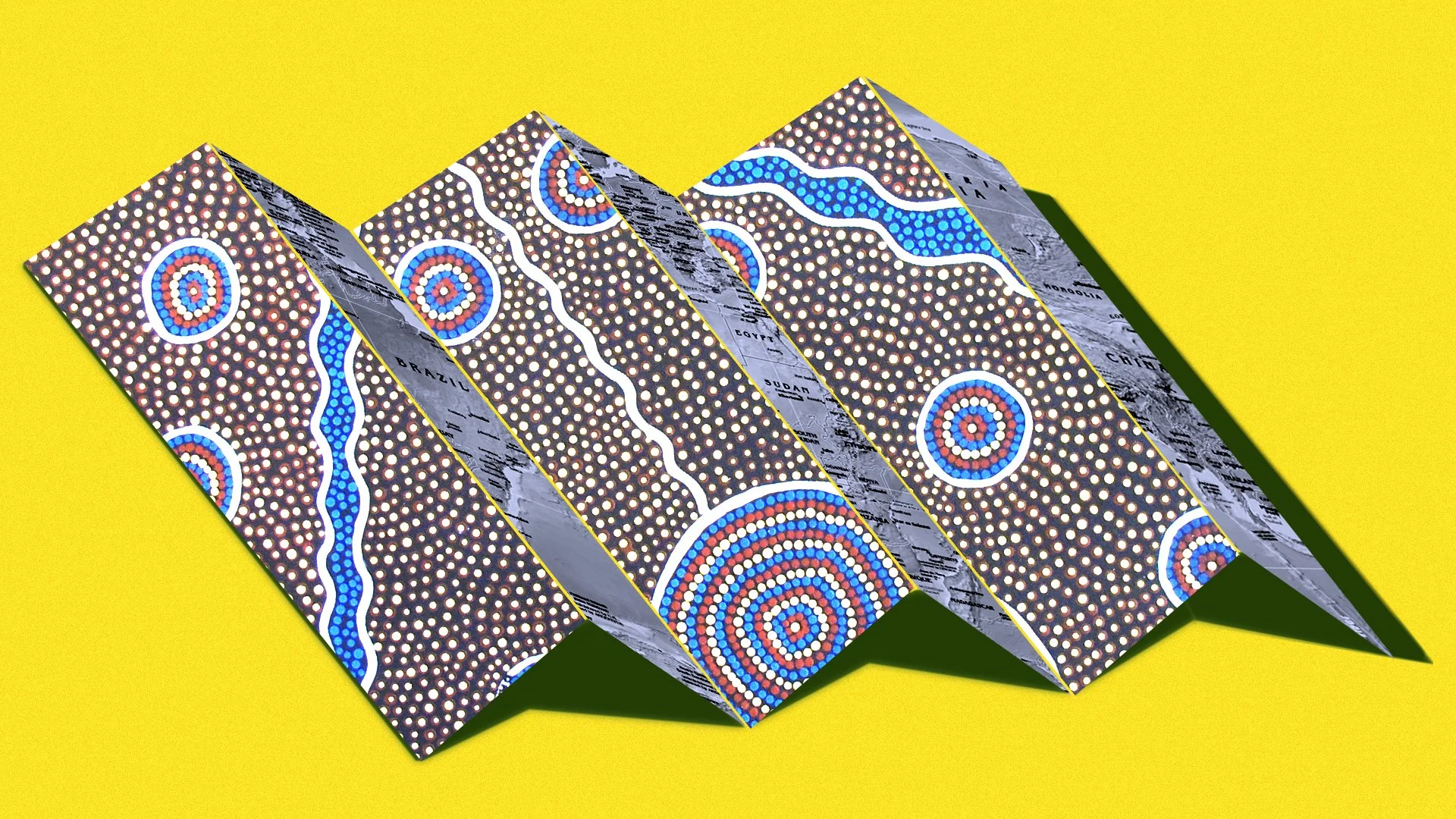
Photo Illustration: Humanizing History Visuals. Photo: Esther 1721, CC0; US Government, Central Intelligence Agency / Wikimedia Commons
Welcome to Humanizing History™! Every month, we feature a central theme. Each week, we dive into different areas of focus.
This month’s theme:
Crayons, Clocks, and Spelling Tests: The Human Stories Behind Everyday School Subjects
This week’s focus: Historical Literacy, or helpful frameworks to expand how we approach history and identity.
Today’s edition of Humanizing History™ is about 1,300 words, an estimated 5-minute read.
The Why for This Week’s Topic
This month, we’re uncovering the hidden stories behind everyday school subjects — those lessons so embedded in classrooms that we may rarely stop to ask: Where did this come from?
We’ve explored spelling, counting, and timekeeping.
This week, we turn to mapmaking.
Maybe you remember flipping through an atlas, labeling continents on a worksheet, or drawing a map of your route to school.
I used to spend hours staring at a metal globe-shaped piggy bank, memorizing countries and capital cities.
Today, digital maps — no longer static, but powered by satellite feeds and GPS — can direct our every move in real time.
But maps are more than navigational tools, and far from neutral.
They’re expressions and tools of power, perception, meaning, and memory — reflecting what matters to the mapmaker or larger society, through what’s made visible and what’s pushed outside the frame.
Maps are stories, shaped by assumptions, eras, and agendas.
So, who gets to draw the world?
What do maps reveal, and what do they erase?
And how have — and do — different cultures, across time and place, imagine their relationship to space?
Early Ways of Mapping
Long before satellites or atlases, numerous cultures used embodied memory to hold and share geographic or spatial knowledge.
More than just lines or pixels, maps weren’t always drawn or carved onto two-dimensional objects. Instead, they were sung, walked, memorized, and passed down.
In Australia, Indigenous (or Aboriginal) Peoples created songlines — ancient oral maps that were dictated through song to trace creation stories and the journeys of ancestors across the land and sky. They weren’t just epic stories, but systems of knowledge. Through song, knowledge keepers, who could memorize hundreds of songs, would navigate thousands of kilometers — identifying water sources, mountains, stretches of desert, burial sites, and sacred places with lyrics. Some songlines are believed to be over 50,000 years old. This practice reveals that mapmaking holds meaning beyond the physical. It reflects our interwoven connections among the ancestral, spiritual, familial, cultural, spatial, and geographic, while surpassing linear timelines — all at once.
In the Pacific Islands, navigators developed stick charts as early as the 16th century CE, with oral traditions suggesting even older origins. These intricate tools were made from coconut palm midribs (the central stem of the leaf), representing ocean swells, and cowrie shells or coral marking islands. These charts weren’t typically taken on voyages, but were used beforehand as teaching tools and memory aids to internalize complex maritime knowledge: waves, winds, currents, and island locations. Combined with star navigation, ocean color reading, and sensing swell direction through the body, navigators could traverse hundreds of kilometers of open ocean, even by moonlight or under overcast skies.
In West Africa, particularly the regions of present-day Mali, Senegal, and Guinea, griots — oral historians, storytellers, genealogists, poets, musicians — served as living archives of geographic, political, and cultural knowledge. Dating back to the 13th century CE, during the rise of the Mali Empire, griots preserved and passed down information through epic poetry, music, and praise songs. The Epic of Sundiata, for example, tells the story of Mali’s founding — blending what is often perceived as myth, migration, and memory to map the world without ink or paper.
Through oral song, tactility, and epic storytelling, these forms of mapmaking were precise, relational, sacred, and deeply rooted in story, land, and life — carrying profound personal and cultural meaning.
The World, Drawn and Redrawn
As civilizations expanded, maps became tools of knowledge — and later, of empire.
Maps have been with us for millennia — from early clay maps in ancient Babylon, likely around the 8th or 7th century BCE, that combined geography with mythology, to the technically sophisticated and conceptually rich world maps produced by Islamic scholars.
One famous example is the 1154 CE world map by al-Idrisi. Compiling knowledge from across Africa, Asia, and Europe into a 70-part atlas, this map blended astronomy, geography, and travel accounts — and places “the south at the top, north at the bottom,” reminding us that orientation is not neutral.
The Catalan Atlas (1375 CE), one of the most globally-informed maps of medieval Europe, features an image of Mansa Musa of Mali — a rare depiction of African wealth and power before European colonization. He’s shown holding a golden orb or coin, symbolizing his status as one of the richest individuals in history — then and now.
Some maps were whimsical. The Bünting Clover map of the late 1500s, which shaped land like a three-leaf clover, used figurative illustration to represent continents, likely symbolizing the Christian Tinity through its design.
Then came a turning point.
In 1569 CE, Gerardus Mercator introduced a map projection designed for navigation. While it helped sailors plot straight courses by preserving angle, it also distorted land sizes — making Europe and North America appear larger, for example, and Africa much smaller than reality. (Take a look at this GIF to see the difference.)
As empires expanded, mapmaking became part of colonization: Indigenous names were erased, lands were divided without consent, and spiritual and ancestral relationships were often overwritten by imposed borders.
In 1974, Arno Peters introduced an alternative map — considered to be based on the earlier 1855 work of cartographer James Gall — now called the Gall-Peters projection. This map aimed to show countries in true proportion, correcting geopolitical bias especially for the Global South, though it also came with its own tradeoffs and critiques.
Maps are not just simple reflections of untouched geography — they can also serve to assert claims of possession.
Mapping as Memory, Again
Even today, maps aren’t neutral. They shape what’s known, and what’s forgotten, or omitted. Many maps flatten the world — both literally and metaphorically — distorting key aspects.
Scale: Greenland is often shown as the same size as Africa, when in reality, Africa is massive, or about 14 times larger.
Orientation: Why is “North” almost always at the top?
Borders: Political lines rarely reflect ecological or cultural continuities. For example, why do many of us learn there are seven continents, when Europe and Asia are one landmass — and so is North and South America? And if we look closer, we can also see that Africa is connected to Eurasia as well, forming AfroEurasia. Seen this way, there could be four continents.
Place names: In recent centuries, colonial powers renamed mountains, rivers, and nations, marginalizing and even attempting to erase Indigenous languages and histories.
Stories of movement: Migration, displacement, and environmental change often don't fit neatly inside drawn borders.
But today, there’s a growing return to relational ways of mapping.
In Australia, songlines are being taught again — not only as cultural heritage, but as ecological and navigational knowledge systems.
Projects like Native-Land.ca and Terrastories enable communities to map Indigenous lands, oral histories, and sacred places using their own languages and words.
Pan-African advocacy groups are campaigning to make Africa appear larger on maps by promoting the Equal Earth projection map.
And artists are creating emotional maps — charting grief, joy, memory, and migration. These aren’t just maps of land, they’re maps of life, loss, and human connection.
Maps that once erased are now being reimagined, not just with tech, but with human-centered intention and care.
Far from Neutral, Maps are Stories
Is a map ever just a simple, technical drawing?
Maps are stories — shaped by perspective, made of decisions about what may or may not count.
Maps show us where the center is, what is made visible, and who is named.
While maps that guide us from Point A to Point B have clear, practical value, as we’ve seen, we can also create:
Maps that reflect relationships, not just roads.
Maps that hold ancestral memory, not just satellite data.
Maps that are living, layered, and rich with meaning — perhaps even something we hold sacred.
The next time you look at a map, consider asking:
Who made this?
What can I see?
What might be missing?
If I made my own map — what would I include as part of its — my, our — legend?
Theme: